I bet you guys will be interested.
19 Likes
Very interested! Thanks for sharing!
1 Like
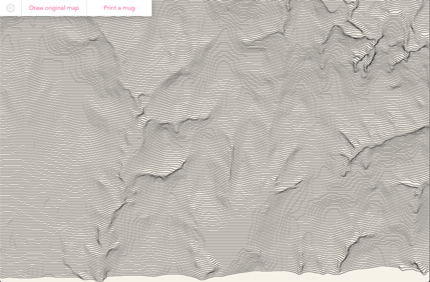
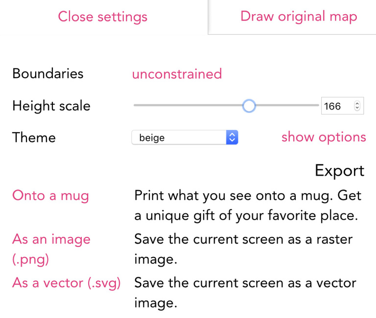
Change the elevation scale in the options, you can exaggerate it.
3 Likes
I found it very interesting
1 Like
Is there a way to save the image?
erm… right-click, Save Image?
1 Like
Nope. doesn’t work for me in chrome. Just saves an image of the map before the lines are added.
Windows-printscreen makes a screen capture in win 10. That would be my go to. They automatically save in the screenshots folder inside pictures.
I was just hoping there was a way to download the image but I suppose a screen shot will do the trick non the less. Cheers for the help!
Yeah it’d be sweet if they did svg download.
1 Like
@evansd2 you can, just set your area, click on the customize tab at the top left, and click on “As a vector (.svg)”.
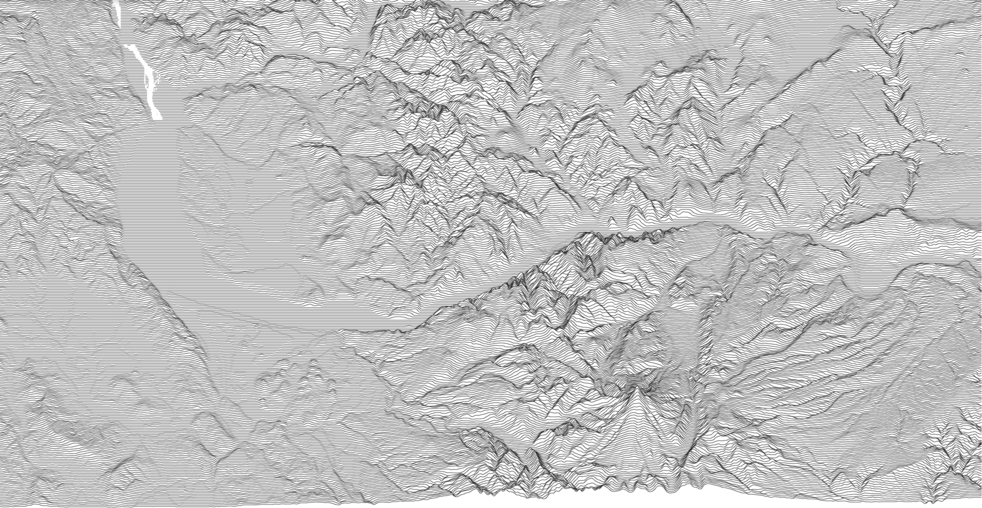
This is an area dear to me in the State of Chiapas in Southwest Mexico.

5 Likes
This topic was automatically closed 32 days after the last reply. New replies are no longer allowed.