I don’t say this often but

3 Likes
lovely! How many blocks could you get on the banana?
2 Likes


2 Likes
Holy smokes, what an epic project! You really nailed it!
4 Likes
Is there a good map tutorial? I’ve seen a few but not one for such good looking results!
1 Like
Way to wow the crowd!! Amazing!!
3 Likes
Beautiful!
Wow that came out great! Extremely well done
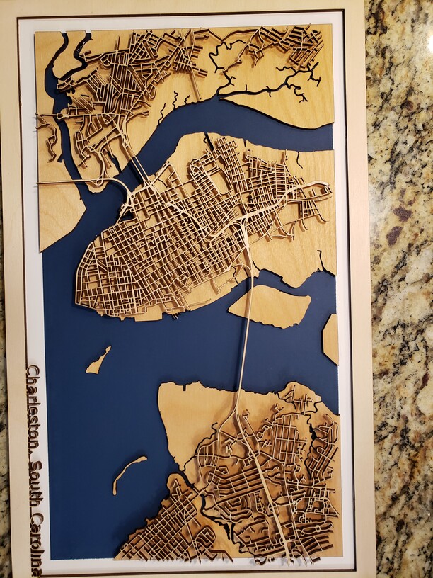
Wow, the Paris map is so beautiful. Excellent!!!
I would love to make a map that size on my GF Basic. If you don’t mind sharing how do you cut the map into strips. I tried all sorts of things on Inkscape and AI (Knife tool) but my vectors end up all haywire and nodes are messed up. I am attaching some examples of maps i cut and framed for my friends as Christmas presents. All are asking for bigger maps now ![]()
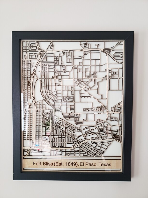
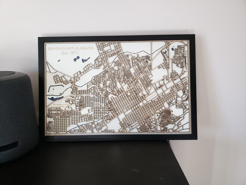
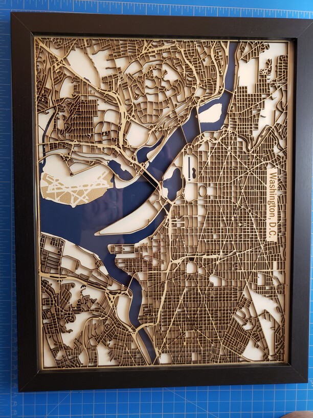
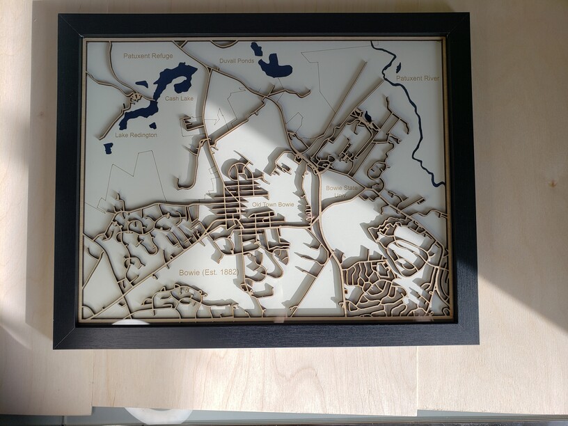
Edit: these are all 11x14 inches.
10 Likes
This is an amazing piece, beautiful!
These are beautiful.
Love the style of cutting away everything but the streets. It really highlights the capabilities of the laser to create those detailed little hyper accurate cuts.
Here is how I split the map in different files for the strips:
First, I tried to build the map by subtracting all the buildings, parks and water-polygons from the big outline/border. That would give me one object with holes, like a slice of Swiss cheese, that could be split into strips that fit into the forge.
Quickly I realized that the cad-program and computer didn’t like thousands of subtraction operations and the resulting object would be too complex.
So I changed tactics:
Instead of having one big object with holes that gets cut in strips, I left all the small objects separate and shepherded them around into different pens for sequential cutting. The streets are what’s left over. Maybe some pictures help to explain:
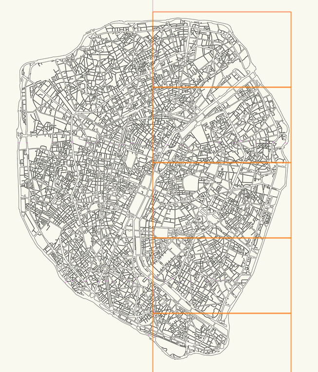
The orange boxes are a bit smaller than the max print area of the glowforge, that gives me an indication where to pull the buildings apart.
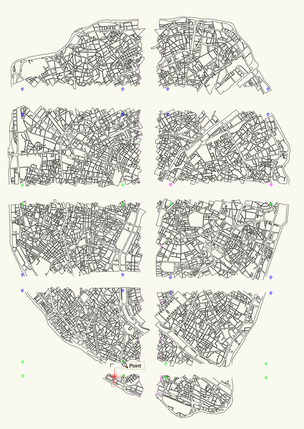
These are the two strips with five sections each, Snapmarks between the files allow for alignment.
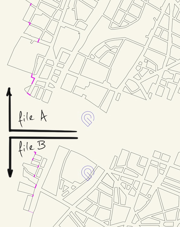
The Snapmarks are used to align file A and B, the pink lines are cutting the streets to make strips.
I hope this helps.
9 Likes
Thank you, yes it helps.
1 Like
If you have Inkscape you can easily make a bunch of rectangles of full size then copying in place the map you can use the copy and rectangle as Intersection to have the map of what is under the rectangle. Then another copy and another rectangle and so on.
2 Likes
I can’t seem to figure out the best way to make these maps. What tool is used to make a map like this, big or small? Any really good tutorials? The ones I found seem over-simplified when I try to follow step by step.
Hello Will,
This is a pretty detailed tutorial:

They use Illustrator to trace the map (convert from pixels to vectors) but there are other programs that can do the same…
There are also maps that are already in vector format .pdf etc that you can download and go from there.
https://openvectormaps.com/
Or google “vector map download“ There are plenty of possibilities.
10 Likes
Searched Paris map in the forum - was not expecting this. This is spectacular.
3 Likes