Hey Everyone,
I’d seen some 3d maps online, and I thought the idea would be awesome. Had no idea where to start, so I just screenshot a map of my hometown and worked up from there. Since I’ve never tried anything like this, I decided I’d try to complete this in three main layers:
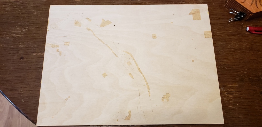
Layer 1 - Base layer as a backing, and has minor markings, primarily for lining up, and would be the layer containing ponds, rivers and parks. Detail is super light because its going to be covered.
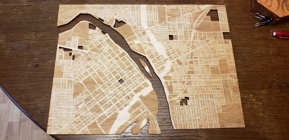
Layer 2 - The mid layer is the main detail, this consists of an engrave of all the buildings, roads and alleys. Pretty much if there was detail, I tried to engrave it. I also did cuts of all the items I wanted to show through of layer 1, which was the river, parks and ponds.
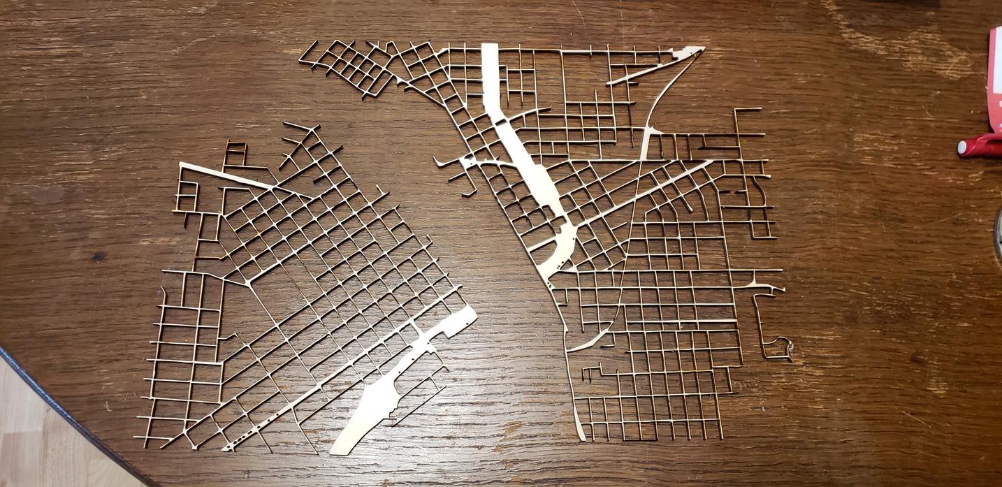
Layer 3 - The top layer is all the major roads, highways, interstates and other drive-able locations, this turned out very very delicate, so future re-design might be required.
And last but not least the finished item! This is all three layers combined:
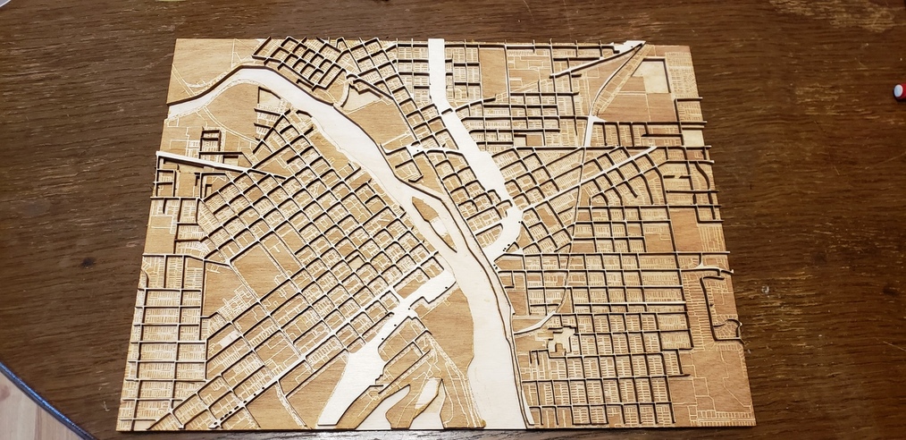
For a first attempt, on something I’ve never tried, I couldn’t be happier with the result. Some minor redesign might be required to reduce burning, increase the width of the roads, and add more detail. But I’m super happy with it as it is.
Let me know what you think!


