So this is totally off topic from GF, but given how many people on this forum are interested in drones, technology, and generally nerdy stuff, I figured I’d make a quick post on it
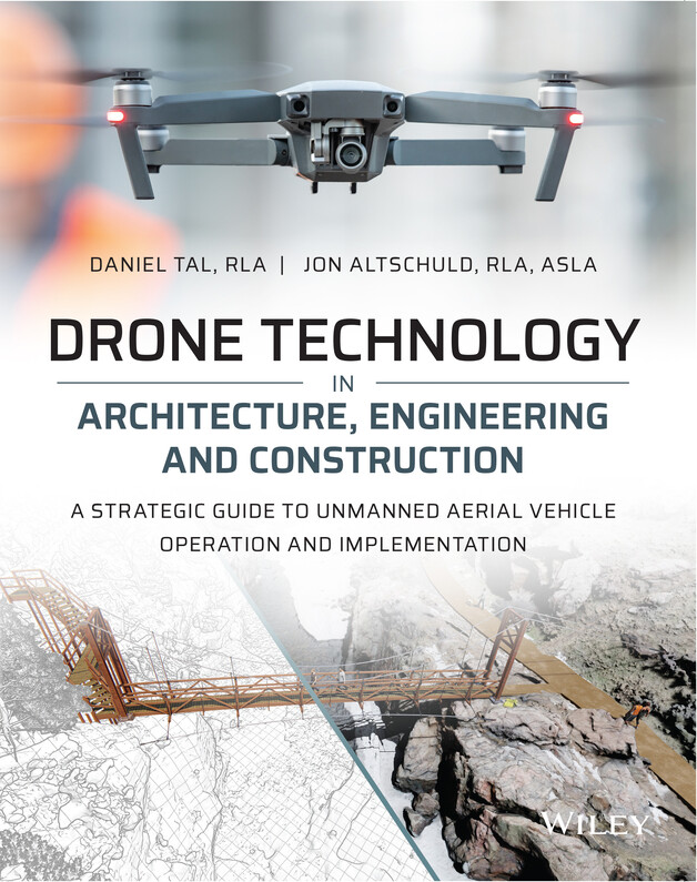
I co-authored a book that is now available for pre-order on Amazon and other major booksellers on Drone Technology in Architecture, Engineering, and Construction. I started it about 3 years ago and actually finished about a year and a half ago but the publisher had some ‘issues.’ Anyways, those have now been worked out and the book will be in print January or February. Mainly geared towards professionals and higher education, but it’s a shorter book and with a lot of graphics. We tried to strike a balance of providing all the details of how to implement the technology in a wide variety of projects and firms without making it overly technical. Plus, both my co-author and myself are landscape architects so we like pretty pictures much more than lengthy text
Congratulations! I live with an author, I see how much work and time writing can be. Granted, his books don’t have pictures and don’t focus on landscaping, architecture, and drones (such a cool combo!). His stuff is on Ancient Greek philosophy.
I recently got a 3D printer. I keep thinking I want to try to print a little hobby drone. It’s beyond my current skill set, but so was the Glowforge when I received it.
I work at a community college with a drone program. I will forward the book title to the faculty.
Again, congratulations on your book!! So much work goes into writing one, regardless of the number of pictures.
Thanks! I actually do quite a bit with colleges and universities-I’m part of a program with Trimble where schools can request engagement, and then I’m sent to them (virtually now) to talk about and teach 3D modeling software. I also work with one of the main drone photogrammetry software companies as an ‘ambassador’ and I’ve been trying to get them interested in a similar program to make it easier for schools to get the software and training to the students. I’ll pm you with my email; if they are interested in either one, or just have questions for me, feel free to pass it on!
That’s great! I was a coauthor on a book about Biological and Chemical Terrorism-Protecting the Populace so I do know the work that goes into writing! Yours sounds so much more fun than mine!!
Nice work! I co-authored a couple of programming books and it’s a lot of work. It’s gotta be a good feeling to have it finished and out in the world. Congratz.
I work for a DB firm in the Pacific NW. I primarily work for the survey department doing topographic mapping. We do a lot of transportation/infrastructure work, education and private(tons of vineyards). I work with most of our groups like Natural Resources, Landscape Architecture, Geo-Tech, etc. The only group that I don’t work with very often is Industrial Hygiene because most of their stuff is indoors, but I’ve been self-teaching GIS & mobile apps for a few years and am getting more involved in their projects by way of data collection apps for hazmat sampling.
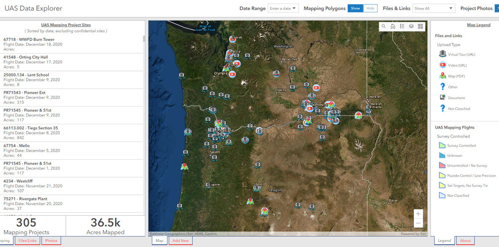
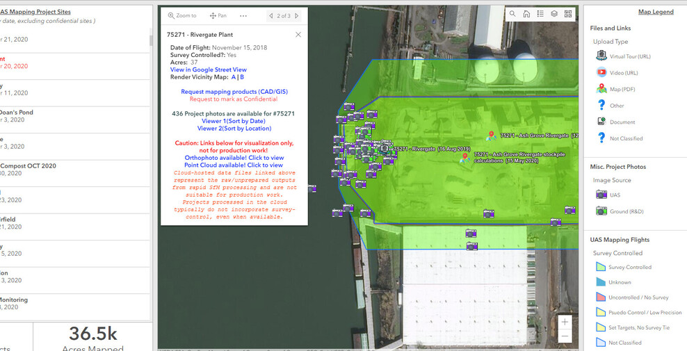
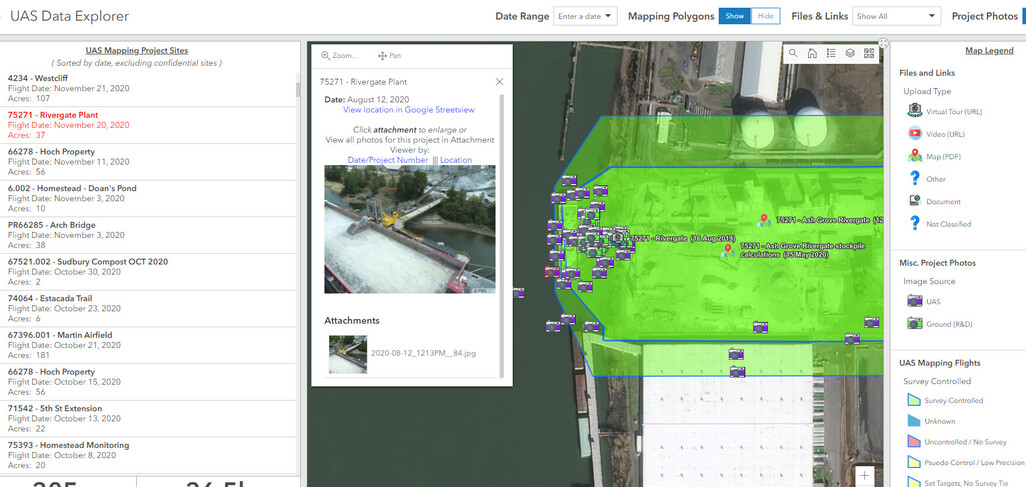
Very cool! We may have to connect off the forum sometime to see if there are any collaboration opportunities! Is that screenshot of an ArcGIS Dashboard or a WebApp?
Yea the screenshot is an AGOL Dashboard. I don’t have orthophotos stored in there because we took our map server offline, but the boundaries are in there and links back to the cloud dataset (if it was uploaded). Mainly our PMs use it to see if we have UAS data available in a spot that they’re working, or for marketing to grab some photos.
By the way, I have a former coworker that is going to be starting the UAS program at his new job and he keeps messaging me for advice/input. I sent him a link to your book yesterday.
 It’s beyond my current skill set, but so was the Glowforge when I received it.