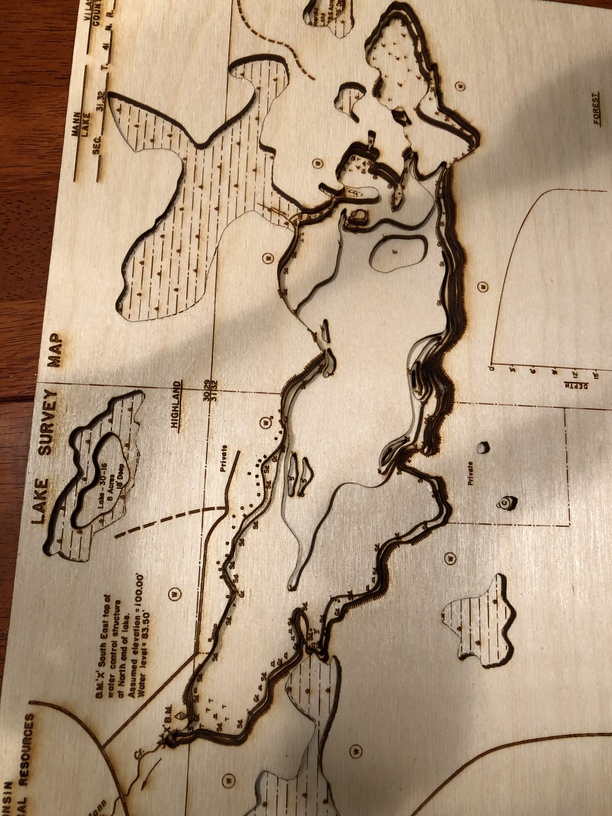
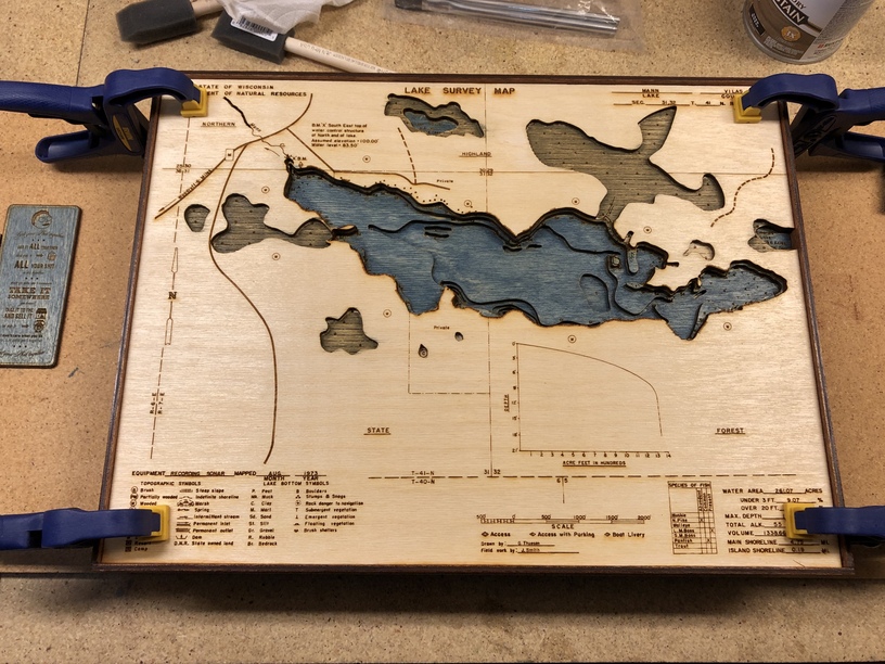
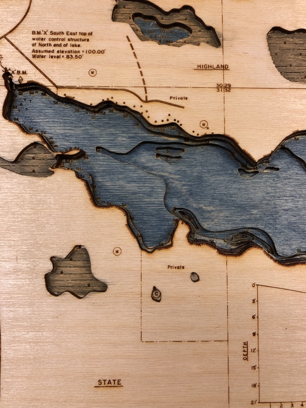
As many others have on here, I purchased a laser with an interest in doing lake maps. Thanks to the forum, I had a great head start, and this went pretty smoothly.
This started as a Wisconsin DNR PDF lake survey, that I had to trace the contours for the cuts in Inkscape. That was most of the upfront learning and time. Actually etching and cutting on the Glowforge was a breeze.
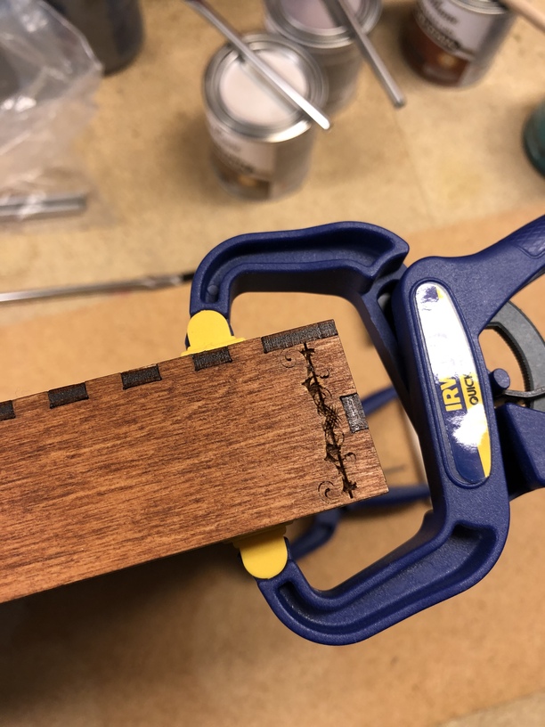
I’d change some of the steps on assembly/ staining. But it still came out nice. Wish I would have bought a Glowforge sooner.
What a lovely product! I especially like the frame. Now that I see yours I can’t believe I haven’t put a frame on any of my own because it draws the project together so nicely.
If you plan on making maps of different areas, it might save time to use publicly available bathymetry files and a GIS program to generate the contours for you.
Getting GIS software working is my next hurtle. I’ve been challenged finding Wisconsin data, although other states seem to have readily available vector maps.
Geodata Portal of University of Wisconsin - Madison: http://geodata.wisc.edu/opengeoportal/
Best resource I found for most human-centric data. Population, land cost, land use, political districts, etc. Also includes resources from the above links, but can be overwhelming if you don’t know precisely what you’re looking for.
Hope this helps! If you’d like pointers toward tutorials I found useful when learning to manipulate big data, shoot me a message.