Glowforge Owners Forum
Good source for maps for engraving
Everything Else
kittski
December 5, 2017, 6:08pm
7
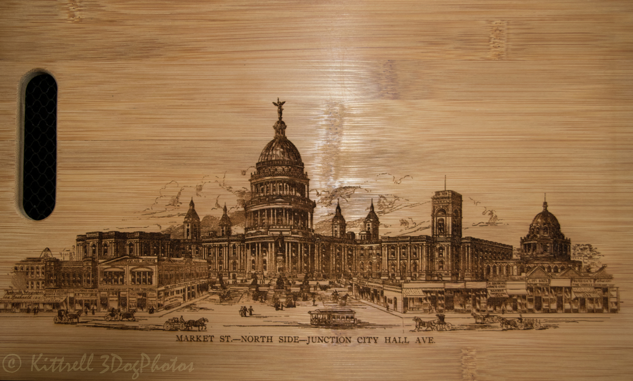
Here’s a couple of them
Historical San Francisco engravings on bamboo
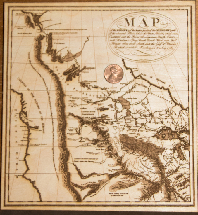
miss map (1 of 1)
677×737 526 KB
7 Likes
show post in topic