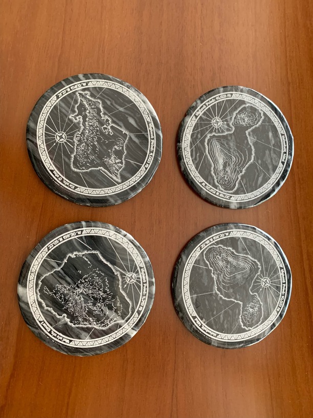
Just updated the download link with a new combined svg (raster and vector versions). The coasters are split up into individual files now in the raster, or individual svgs for each are here - Individuals - Google Drive
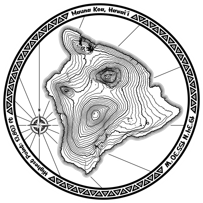
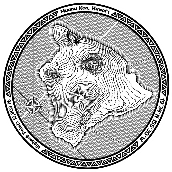
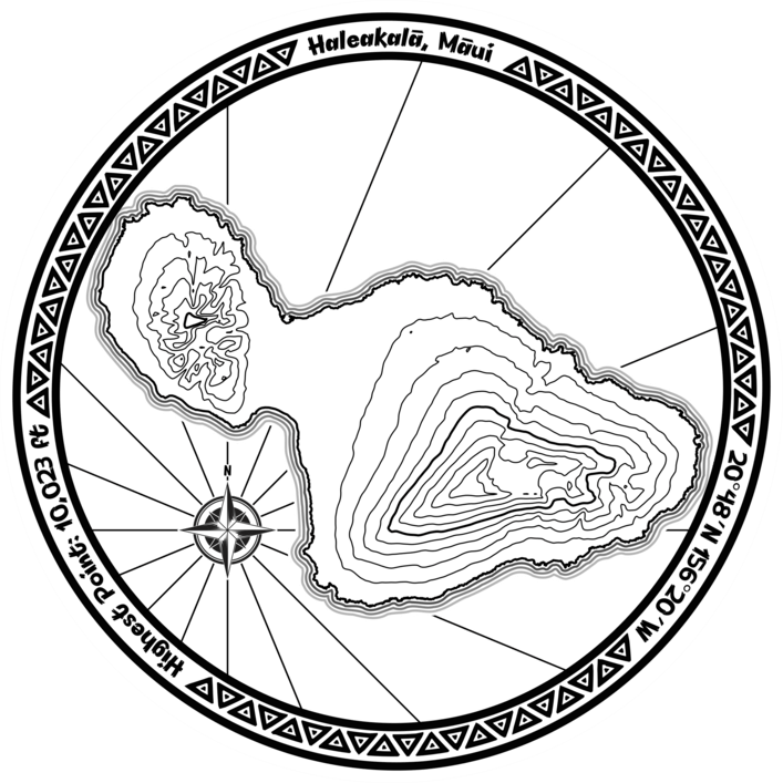
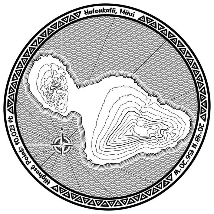
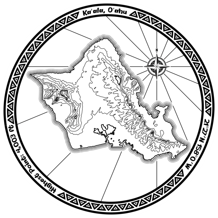
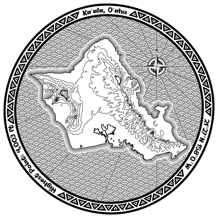
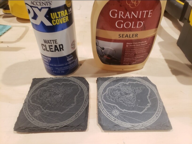
Not that crazy about some of the Hawaii contours, but the ridges & valleys are tough to show at this scale. They don’t all have the same scale or vertical interval levels either. That’s going to make me wince.
Awesome looks great. I’m a fan of the blank and the nautical star. I was messing around and took the Big Island and made a coster of just the island with a cutout around the coastline. It has too many elevation lines and just looked like knotted wood without the other artwork.
As far as contours go, the big island is absolutely gorgeous to look at. It’s kind of a bummer to have it in a 4" design that’s really hard to show them on. I’m working on file for a 3d topo of a ski resort right now, but I think I’m going to make one for big island afterwards.
I LOVE this! 1) Because I’ve been obsessed with bathymetric maps (& maps in general) and 2) Because I’m from the NW and Mt. Rainier & Mt. St. Helens have special meaning for me (I kept a souvenir of ash when Mt. St. Helens blew). I might have to make a set for myself! THANK YOU so much for the generous share!