Slightly off topic here but with possible laser applications.
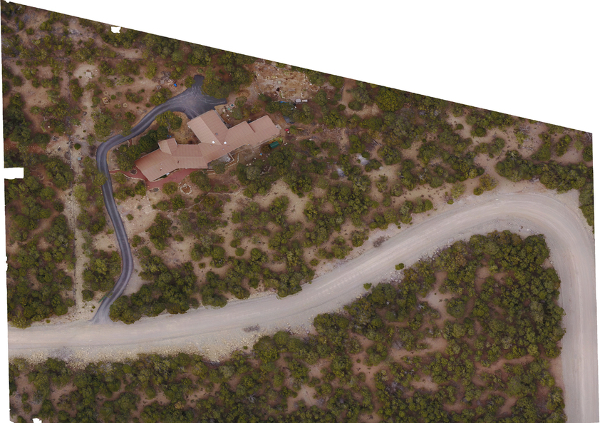
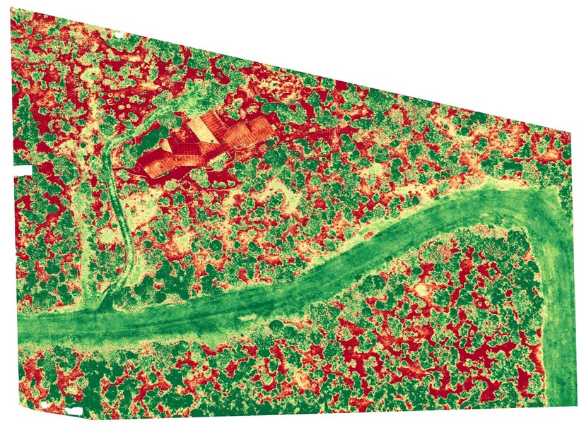
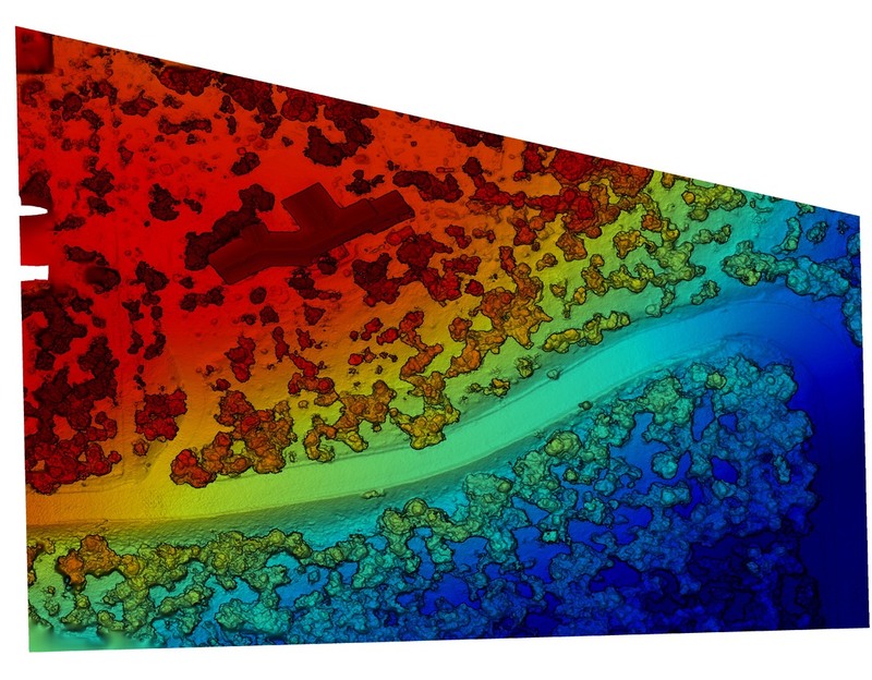
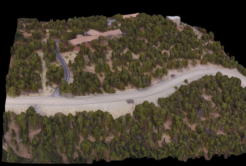
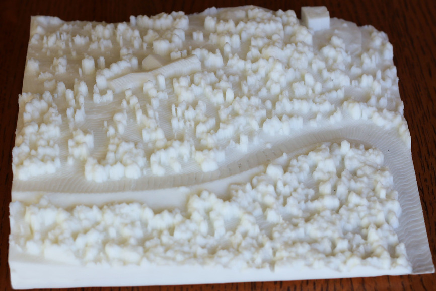
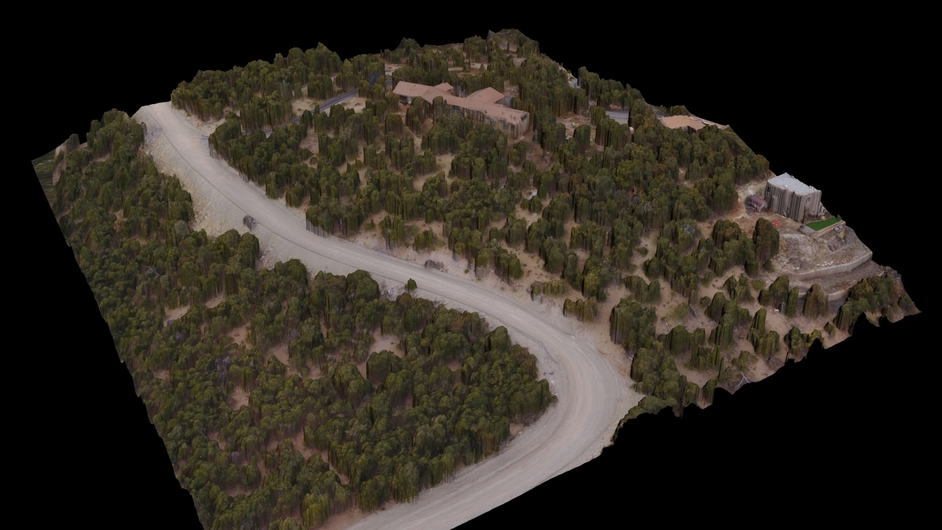
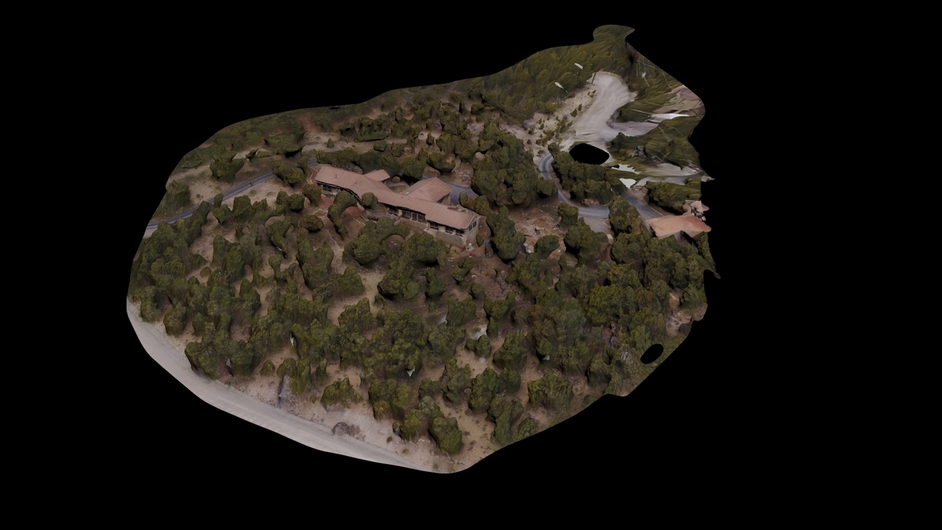
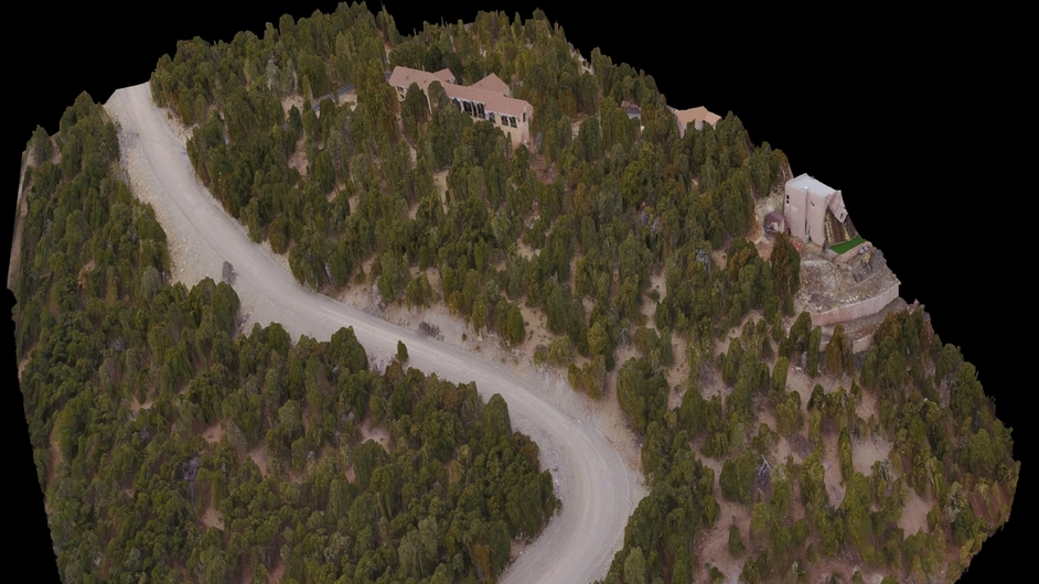
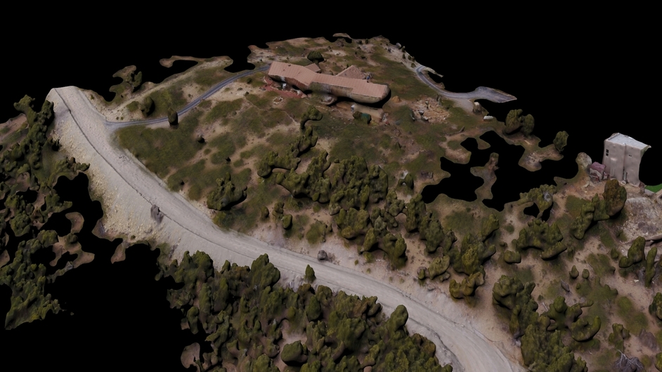
I have been doing some experimentation with photogrammetry using imagery from my drone. I surveyed my parents home taking overlapping photos from a fixed altitude. Those images were uploaded to a cloud based photogrammetry service (I actually tried three different services to see how the results differed). The service outputs several different 2D image types as well as a 3D model. Here are the results:
Looks like you can now make your own War Room battle planning maps, that’s the first thing I thought it looked like at least. Get those zombie battle plans ironed out
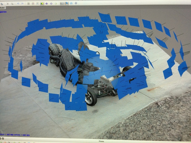
I was always surprised that @dan and GF did not put two or three cameras in the GF with an overlapping field of view. This would be another location / autofocus methodology plus it would allow the GF to be a 3D scanner to output files for other applications like 3D printing.
I suspect it may be in their future. The math is well documented in the Photogrammetry community.
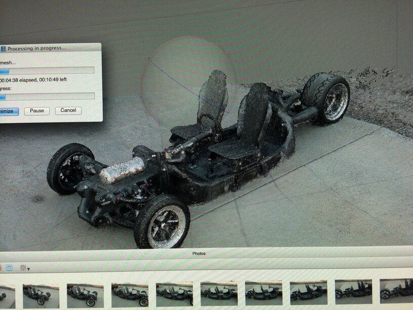
Of course, with the high res camera, you could “fly” around the bed of the GF and take a series of photos. As long as you can output the location data and the image data, you can calculate a solution.
The GF is the next mini aerial photography platform! It can collect data over that 11.5 by 20.5 inch bed!
The software that generated the above data was Drone Deploy. I also tried ReCap 360 and Maps Made Easy. Each had their own strengths and weaknesses. The Drone Deploy 3D model turned out the cleanest and required the least effort to make ready for 3D printing, so I went with that one.
Pix4D processed very fast, much faster than any of the other services. I don’t think it cared much for my photos however. I was trying to stay consistent using the same data set for each test. I think Pix4D might be happier if I flew the mission with their app.
I’ve been slogging through the installation of OpenDroneMap whilst publishing some new datasets at work, but am patience-limited so will try again another day.
Docker VMs and Python, oh my!
Docker VMs and Python, oh my!
Docker VMs and Python, oh my!