Topographic Map - Bennett Spring State Park (Missouri)

I have wanted to do this as well. How, exactly, did you trace the lines? Like, with paper and pencil? Digitally with a mouse? Digitally with a “pen” device? On an iPad? Super curious. I don’t think I could do it with a mouse. Maybe with a pen/stylus type input.

4 Likes

I pasted the image of the map into Inkscape. I created a layer and named it “map” and moved the map image to it. Once I determined the size I wanted it, I switched back to main layer to draw, and zoomed in on the image and started drawing.

Later I added the Google Map for the road information (it was more up to date).

This method took me several days, but in the end I knew I had exactly what I wanted.

7 Likes

This is stunning

4 Likes

I have a brother who would love this. He’s mad about trout fishing and goes to Bennett all the time. Nice work. Some day I need to try this out. I had done some work in the geo database programs but my brain exploded at the learning curve. That was a while ago, so maybe I can figure it out this time.

Thanks for posting.

6 Likes

A good place to get 3D maps is Terrain.party there is the whole world and you can pick from anywhere. This is also great (and has underwater levels, I think) but is only a short time “trial” period.

If you could make it 3D and make it into a few slices with 3D printer software (or Gimp) you could have a real 3D design slopes and all.

3 Likes

I love your park boundaries; what if you scored (heavy) a double line just inside the edges of the acrylic? That would be a subtle but not in-your-face detail.

I’d be so proud if someone did this for me (hint hint, Bellingham WA). (Not that I’m begging or anything…)

4 Likes

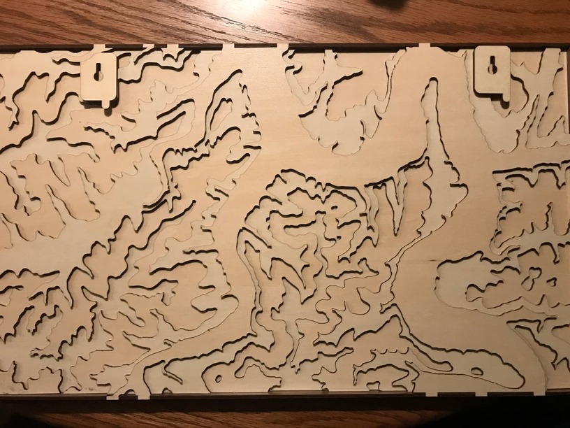
I wanted a way to hang this map on the wall, so I searched for hangers and found what I was looking for on the forum!

I was able to integrate these into the back of the map. I also added some tabs so it could be hung with string/wire as an option also.

6 Likes

Wow! This looks like a huge undertaking! It turned out amazing!

3 Likes

A very personal gift, they’ll love it! Maps are rather daunting, for sure.

2 Likes

Clever & useful addition to the original hanger design. Worth a post with the file since it was derived from a free file post here in the first place.

1 Like

True. But, I will make a more generic one to post back. This was positioned specifically to where the spaces were on the back of the map.

Custom Hangers

Looks good. The second one (& a mirrored version) are perfect. One of those simple mods that’s only obvious when someone else is clever enough to think of it :grinning:

2 Likes

Very cool. Turned out Great!

3 Likes

Here is the generalized updated design!

2 Likes

That was good of you to do - especially with the holiday and other things that could keep you busy.

2 Likes

Very nice. You could color the engrave on the acrylic to make it stand out. What of Missouri is this?

It is Bennett Spring State Park in Missouri.

2 Likes

Would you be willing to sell me the file for private use? I’d like to make for my two brothers to commemorate our recent, and probably last, fishing trip there. One brother is probably not able to make the trip again. :disappointed:

We are not allowed to ask for files per the forum rules. If the OP wants to offer their file for free (personal use) they will post it in the free laser designs section. Otherwise, they may have a link to their online store in their profile.

6 Likes

Oops. Ok. Sorry.

Blessings to the Osage, Miami, Sioux and Haudenosauneega (also called Iroquois), people on whose stolen land I currently abide.

Peace, Justice, and Solidarity
Mike Baldwin he/him/his

1 Like