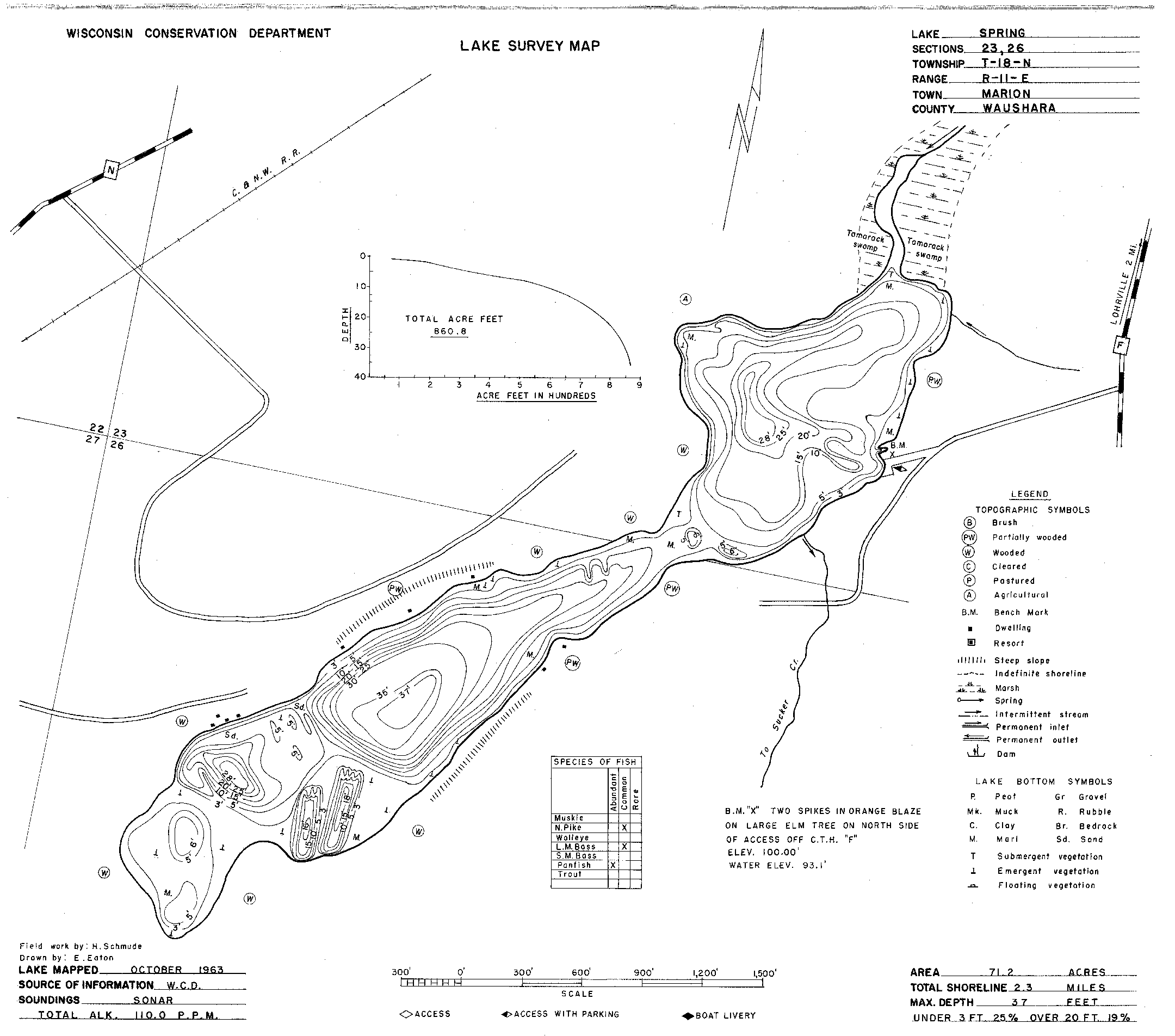
A friend requested a last minute item to give to someone for Christmas and we came up with doing a bathymetric map of a lake in Wisconsin that they have a cottage on. Normally I do the lake level cuts on 16-in MDF so I can paint the layers, but I did not have enough material on hand, so we went without the paint. I think it still looks great and hopefully they like it. Top layer is proof grade cherry.


32 Likes
They should display it with a blue light ![]()
Wow that lake is deep in spots!
15 Likes
It turned out really nice.
9 Likes
I love maps like this; I never get tired of them.
8 Likes
![]() me. Too
me. Too
8 Likes
Beautiful!! Thank you for sharing your art!!
8 Likes
They’re going to love it!
7 Likes
@deirdrebeth Just what I thought when I saw it!
I really enjoy bathymetric maps, but yours @pubultrastar are especially stunning!
9 Likes
It says maximum depth is only 37 feet.
9 Likes
Yeah, the distortion in depth makes them more impactful.
10 Likes
Yeah depth is definitely not to scale. Otherwise that would be hundreds of feet deep. I believe the first layer is 3 ft deep, then 5-ft intervals up to the deepest I normally use 1/16 inch material, but I didn’t have enough stock and ended up using thicker 1/4-in material, so it does look more dramatic. I suppose it would look more normal on a bigger map cut on a bigger laser. Anybody who drives a boat on that lake will know where the deep spots are anyway.
9 Likes
This is just amazing! I would love to give this a try someday!
7 Likes
The one I did, I used alternating layers of blue cellulose and white chipboard, I think 4 total - so it got darker as it got deeper.
Never posted a pic as I intended to sell them to residents of that lake and it was already customized with my friend’s house location and their names.
8 Likes
Great job! It looks amazing.
6 Likes
Thanks for the clarification, however this serendipitous circumstance makes for a more dramatic piece.
Could you please share your source of bathymetric data? Is it a local State source, or perhaps NOAA?
6 Likes
(That’s another reason I didn’t post a pic of the one I made - the data is not available except in basic map form, as it is a private community. I had to trace it by hand. It’s actually why I bought a digital tablet to use with my laptop…)
7 Likes
Wisconsin DNR website has maps. I don’t know of any free services that have that data available, so I map the layers using Illustrator. I also use mapbox and google maps to get street level stuff.

7 Likes
Thanks for the info. I find local State resources are better quality and more abundant than national databases.
8 Likes
So rather than diving spot depth - that’s where the big fish hide ![]()
5 Likes